

Key Takeaways
Why Road Trips Remain One of the Smartest Budget Travel Formats
A domestic road trip removes the two biggest variable costs of most travel - flights and per-night hotel minimums in expensive cities. When you control the vehicle and the itinerary, you can sleep in campgrounds, cook at rest stops, and detour through small towns where a motel room might run $60 instead of $200. The routes below lean hard into that logic: they pass through federally managed public lands where entry is free or modest, link towns with genuine infrastructure for budget travelers, and deliver scenery that would command premium prices if packaged as a resort destination.
Before committing to any route, build out a realistic per-day cost estimate. Our practical trip-planning guide walks through how to do that accurately, including fuel math, food budgets, and lodging trade-offs. Having those numbers before you leave is what separates a trip that stays on budget from one that quietly goes over.
Verify Conditions Before You Leave
Campsite availability, road conditions, and permit requirements on federal and state lands can change without notice. Always check official agency websites - the National Park Service, Bureau of Land Management, and relevant state park systems - before departure. Seasonal closures are common on mountain routes and some parkway segments.
7 Affordable Routes Worth Driving
US Route 89 through the Colorado Plateau (Arizona to Utah)
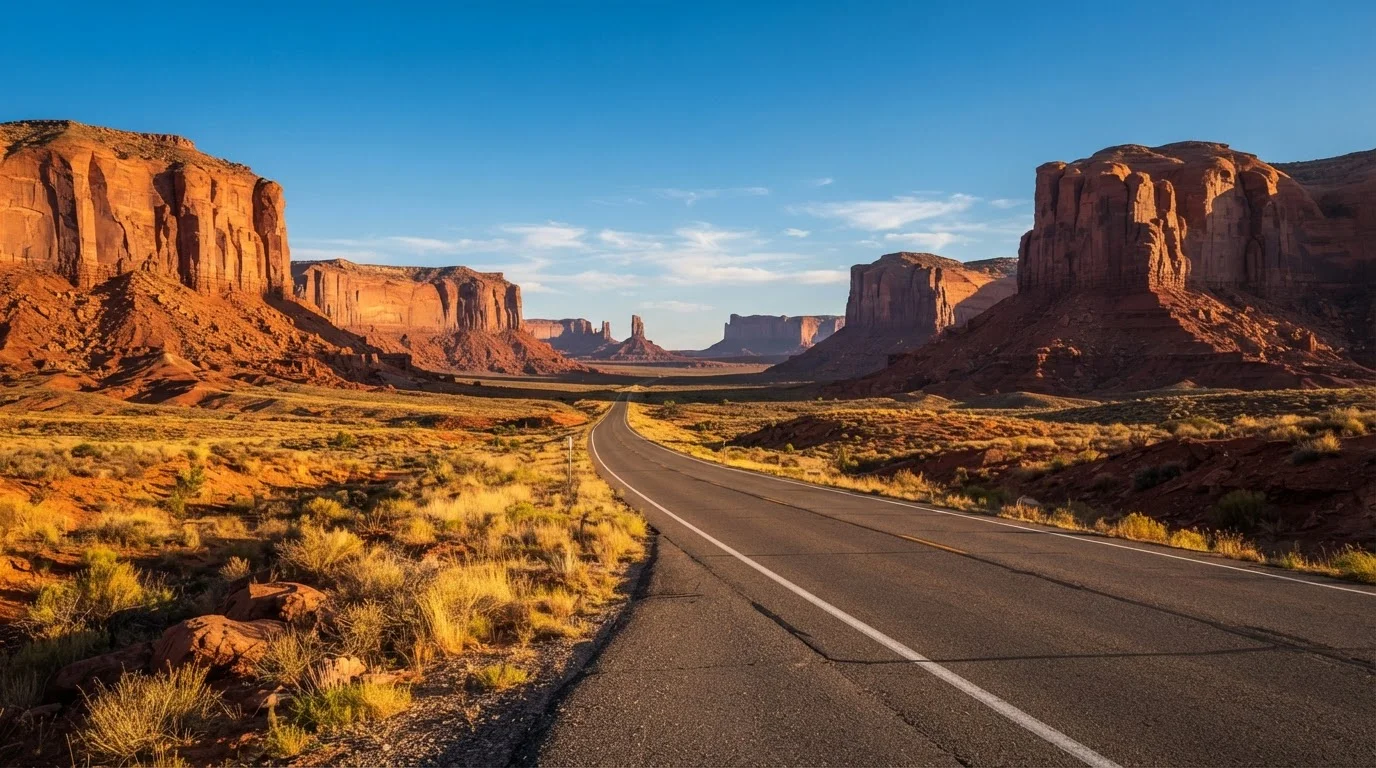
Running north from Flagstaff through Page and Kanab into southern Utah, US-89 threads a corridor of public land that includes the Navajo Nation, Glen Canyon National Recreation Area, and the outskirts of Grand Staircase-Escalante. Entry fees vary by site but many overlooks and pull-offs are free. Small towns like Kanab offer motels at rates well below what gateway towns charge near popular national parks. This route rewards slow driving - most of the scenery is roadside rather than requiring paid admission.
US-89 delivers canyon-country scenery with most viewpoints completely free of charge.
Blue Ridge Parkway (Virginia to North Carolina)
The Blue Ridge Parkway charges no entry fee and runs 469 miles along the Appalachian ridge, connecting Shenandoah National Park to Great Smoky Mountains National Park. Campgrounds along the parkway are operated by the National Park Service and tend to be less expensive than comparable private options in the region. The surrounding towns - Floyd in Virginia, Brevard in North Carolina - are small enough that food and lodging remain affordable. Travel in September or October for fall foliage without peak-summer crowd pricing.
The Blue Ridge Parkway is one of the only fee-free scenic parkways in the US national system.
Highway 2 across the Northern Rockies (Montana)
US Highway 2 runs along the southern edge of Glacier National Park and continues east across the Hi-Line into Montana's high plains. Unlike the park's interior, the highway itself is free to drive, and towns such as Browning, Cut Bank, and Havre offer basic but genuinely inexpensive motels. Dispersed camping is available in the adjacent Flathead National Forest without a fee at many sites. The route is best in summer when mountain weather is stable, but spring and early fall see significantly lower accommodation rates in gateway communities.
Highway 2 skirts Glacier's dramatic mountain edge without requiring a park entry fee to enjoy the views.
The Loneliest Road - US Route 50 through Nevada
Dubbed the Loneliest Road in America by Life magazine, US-50 crosses the Great Basin through a series of small towns - Fallon, Austin, Eureka, Ely - each with basic services and low-cost lodging. Much of the surrounding land is BLM-managed and open for dispersed camping. The route is genuinely remote, so vehicle reliability and fuel planning matter more here than on other corridors. Carry extra water and a physical map. The payoff is wide-open basin-and-range terrain and almost no traffic on what is technically a US highway.
US-50 through Nevada offers free BLM camping and near-empty roads across dramatic basin-and-range terrain.
The Natchez Trace Parkway (Tennessee to Mississippi)
The Natchez Trace Parkway covers 444 miles between Nashville, Tennessee, and Natchez, Mississippi, with no commercial traffic and no entry fee. NPS campgrounds along the route are low-cost, and the surrounding towns in rural Mississippi tend to have some of the lowest motel rates in the country. The scenery is quieter than Western routes - forested ridgelines, river overlooks, and historic sites - but the total cost to drive it, including lodging, is hard to beat. It suits travelers who prefer green, rolling landscape over desert geology.
The Natchez Trace combines free parkway access with some of the lowest roadside motel rates in the South.
Oregon Coast Highway - US Route 101
Oregon's coast is defined by public access: state law requires beach access at regular intervals, and Oregon State Parks - which line much of US-101 - offer low-cost camping at developed sites and free day-use access to most natural areas. Towns like Lincoln City, Gold Beach, and Brookings are working coastal communities with affordable dining and lodging when compared to Northern California counterparts. The full coast takes three to four days to drive at a reasonable pace. Fog is common in summer mornings; September often brings clearer skies and fewer visitors.
Oregon law mandates public beach access throughout, making the coast one of the most open - and affordable - scenic corridors in the country.
The Enchanted Circle - Northern New Mexico Loop
The Enchanted Circle is an 84-mile loop through the Sangre de Cristo Mountains departing from Taos, passing Eagle Nest, Red River, and Questa. At under 100 miles, it works as a focused two- to three-day trip rather than a multi-week commitment. The Carson National Forest surrounds much of the route and allows dispersed camping without a fee. Taos itself has a range of lodging price points, and smaller towns on the loop offer budget motels. The scenery - alpine meadows, Wheeler Peak in the background, high-desert valleys - punches well above what the mileage suggests.
At under 100 miles, the Enchanted Circle delivers mountain and desert scenery with minimal fuel cost.
Stretch Your Budget with a Fuel and Camping Strategy
Before departure, map gas stations along remote stretches like US-50 in Nevada or Highway 2 in Montana - gaps of 50-plus miles are common. Download offline maps since cell service is unreliable on several of these routes. Pairing BLM dispersed camping on alternate nights with paid campgrounds keeps per-night lodging costs low without requiring full self-sufficiency every night.
Making the Most of These Routes Without Overspending
The biggest cost variables on any road trip are fuel, lodging, and impulse spending at tourist stops. On all seven routes above, dispersed camping on Bureau of Land Management (BLM) land is either adjacent to or directly along the corridor - meaning free overnight stays are achievable on most nights with basic planning. Many national parks along these corridors cost under $35 per vehicle and cover multiple days of access, making them a strong value anchor for any itinerary.
For a broader look at how road trips compare to international options, the guide to planning a low-cost international trip is a useful counterpoint - sometimes flying beats driving once total costs are compared honestly. And for accommodation strategies beyond camping, the budget traveler's playbook for flights and accommodation covers lodging trade-offs in detail. Verify road conditions, permit requirements, and any seasonal closures with official state and federal agency sources before departing - conditions change and published information can go out of date.